Using design-based soil sampling to monitor soil health
Soil sampling is a crucial part of sustainable land stewardship, helping producers understand what is happening on their land. The most common reason for soil sampling is to make effective nutrient management decisions. Increasing adoption of sustainable, regenerative, or soil health building practices over the past 10-15 years has created demand for a different type of soil sampling: soil health monitoring. Soil health monitoring helps support data-driven land management decisions and assess the effectiveness of management practices, such as reducing tillage or implementing diverse rotations or cover cropping.
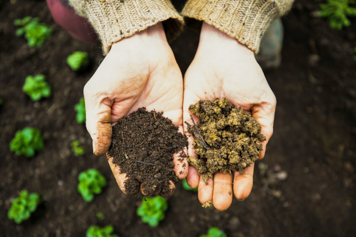
Many soil testing labs now have specific soil health packages, measuring a combination of biological, chemical, and physical soil health indicators not included in traditional soil fertility test packages. (Check out these USDA-NRCS bulletins for in-field and lab-based soil health assessments.) At the same time, there has been a proliferation of national and regional programs promoting soil health and soil health testing including “Farmers for Soil Health,” American Farmland Trusts “Soil Health Stewards Program,” Pasa Sustainable Agriculture’s “Soil Health Benchmarking Study” and California’s “Healthy Soils Program,” just to name a few. While farmers may conduct soil health sampling to meet program requirements, the benefits go beyond a box that needs to be checked.
Soil testing and sampling strategies
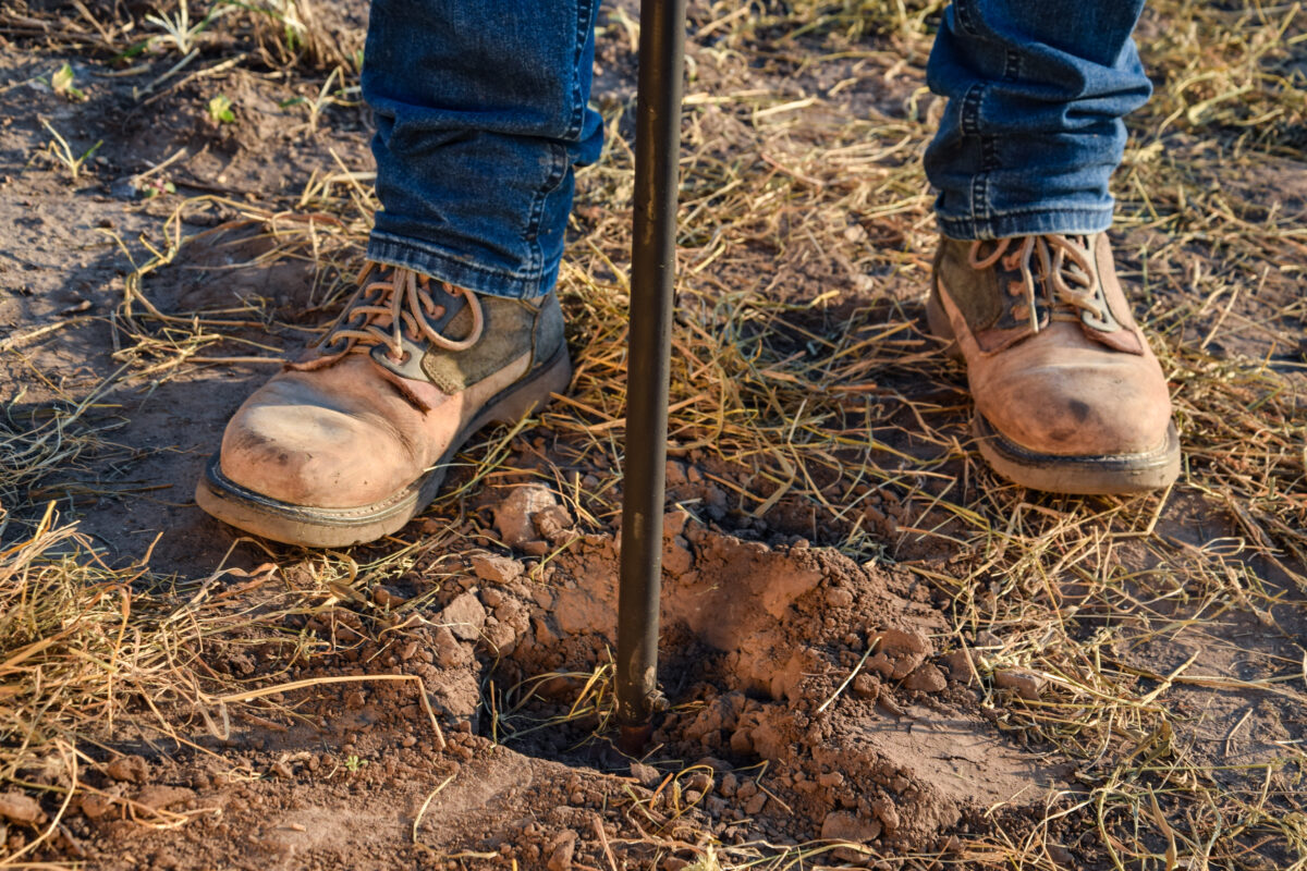
Most producers using soil sampling to support nutrient management decisions will collect one composite sample, containing 5-15 cores from different areas of the field. Soil labs offering soil nutrition packages often provide guidelines for how to collect and manage quality soil samples. Farmers who have adopted precision agriculture frequently use grid sampling to collect one sample for every 1, 2.5, or 5 acres in order to generate precise nutrient maps.
| Advances in GPS technology and specialized machinery have led many farmers to scale up farm soil sampling methods to develop high resolution maps to be used in precision farming. Precision Agriculture uses GPS and other technologies (sensors, drones, AI, etc.) to manage crops with high accuracy. Variable Rate Technology (VRT) targets inputs to where they have the most impact—for example, reducing planting density and fertilizer applications on sandy hilltops where the yield is expected to be low. Using precision agriculture practices profitably requires significant investment in both specialized machinery and digital prescription maps to make it a reality. |
Grid vs. stratified soil sampling
If your goal is to accurately monitor soil health changes in response to management, neither single-field composite or grid sampling is a great option. Composite sampling may be good enough for small fields (< 25 acres), but soil conditions can vary widely over small areas. Small differences in where soil samples were collected across different years can affect the results and make tracking changes over time difficult. On the other hand, grid sampling requires many samples at significant expense, making it a less-than-ideal option.
A more suitable option for how to design a soil sampling plan, then, is design-based soil sampling.
Best soil sampling practices for farmers
Design-based soil sampling, aka stratification, divides fields into smaller, more uniform units (i.e., zones) based on known differences in soil type, topography, yield history, or previous management. This allows producers to collect fewer samples while maintaining confidence in the value of the soil data being generated.
Design-based soil sampling in practice
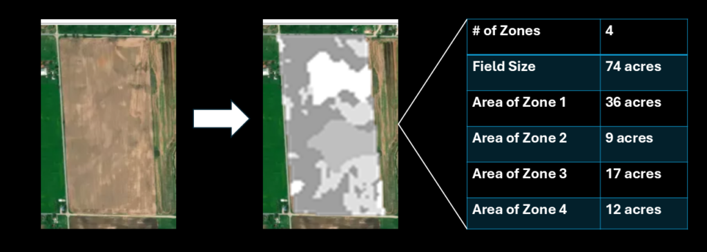
The figure below shows a 74-acre field. Using either 5- or 10-acre grid sizes would require 8 or 15 samples, respectively. In contrast, using publically available digital soil maps of organic matter, clay content and slope generated 4 zones with similar conditions. Now a producer can collect a composite sample from within each zone, sending only 4 samples to the lab, to get a realistic average for each zone.
Cost-effective soil sampling for farms
When described this way, design-based soil sampling sounds like a simple process, but it’s not something most farmers have the tools or experience to replicate on their own. Not only would a producer need to generate sampling zones, they also need navigation tools to accurately guide them in the field to confidently collect samples from within each zone.
Simple digital tools can enable farmers to stratify and sample their own fields at low cost. The sampling plan above was generated using SoilStack’s automated stratification algorithm. SoilStack is an open-source and flexible platform Our Sci designed to simplify soil sample design for agriculture and conservation purposes. SoilStack helps farmers create smart soil sampling plans by interpreting all available data about your plot of land—whether that’s 5 acres, 5,000 acres, or 50 different plots of 50 acres each. The SoilStack design-based soil sampling platform includes an intuitive front-end app that pinpoints exactly where in the field you need to collect a sample and uses GPS to guide you to each sampling location accurately. When you’re managing multiple fields or multiple farms, SoilStack’s administrative tools help keep track of your soil sampling projects.
How to use design-based soil sampling
Create your own account at SoilStack to get started with your own design-based soil sampling plan, or contact us to talk about precision soil sampling design for your farm or project. Soil health, agroecological land management, and conservation practices are among our team’s areas of expertise.